Coastal Hazard Adaptation Strategy
Consultation has concluded
Planning for the future of Redlands Coast.
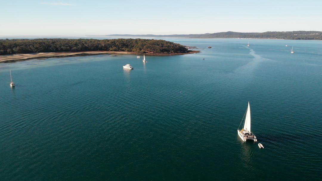
Redland City is blessed with 335 kilometres of coastline and foreshore areas, from Tingalpa Creek at Thorneside south to the mouth of the Logan River and across the Southern Moreton Bay Islands and North Stradbroke Island (Minjerribah). It has a rich and long history and is the traditional and spiritual home of the Quandamooka People.
The coastal zone has significant ecological value and includes Ramsar listed sites and parts of the Moreton Bay Marine Park. Moreton Bay (Quandamooka) provides a habitat for a diverse range of unique plants, and animals including rare, vulnerable, and endangered species such as migratory shorebirds, frogs, dugongs, and turtles.
The coastal environment also holds significant recreational, commercial, and eco-cultural tourism value. The region is renowned for scuba diving, boating, and recreational and commercial fishing. These values have seen Redlands Coast become a popular place for us to live and work and is home to more than 160,000 residents, many of who live adjacent to or within proximity to the coastline.
Redlands Coast experiences regular impacts associated with storm events resulting in erosion and tidal inundation of low-lying areas.
Council is being proactive and developing a long-term comprehensive plan known as the Coastal Hazard Adaptation Strategy to:
- identify coastal hazard areas
- understand vulnerabilities and risks to a range of assets and values
- engage with the community to understand their preferred approach to adaptation
- determine the costs, priorities, and timeframes for their implementation.
Find out more and get involved
- Download Council's Coastal Hazard Adaptation Strategy by clicking here
- Read the project fact sheets
- Register to receive future updates
- Click on a yellow pin on the erosion map below to find out what Council knows about erosion at each site
- Share your knowledge of an area at risk by dragging and dropping a red pin and/or uploading your photos and comments
- Explore Council’s Red-E-Maps to find your property and any related overlays, or browse the overlay maps on the Redland City Plan site

CHAS Explainer Video


Fact Sheets
-
 CHAS Terminology Fact Sheet 1 (1.45 MB) (pdf)
-
Coastal Landscape and Hazards Fact Sheet 2 (1.73 MB) (pdf)
-
Coastal Resilience and Adaptation Fact Sheet 3 (3.95 MB) (pdf)
-
Economics Fact Sheet 4 (1.96 MB) (pdf)
-
Adaptation Framework Fact Sheet 5 (1.41 MB) (pdf)
-
CHAS Adaptation Actions Sheets (3.55 MB) (pdf)
-
CHAS Progress Update Fact Sheet - September 2020 (880 KB) (pdf)
